Yuill (nee Drynan), Caroline Ann
Peacefully at home...
Photo CornerMississippi Mills via satellite photos
Mississippi Mills via satellite photos
by Brent Eades
I borrowed this idea from a recent article in the Atlantic Magazine — using Google Maps satellite photos to view the intersection of human activity and the natural world across Canada.
Below are photos in and around Mississippi Mills as taken for Google Maps over the past few years. I’m sure there are other interesting views I haven’t found. Suggestions are welcome in the comments section below.
The sewage lagoons off Wolf Grove Road. These have dried up somewhat since this photo was taken. It’s my understanding that one will be left open as a potential holding area.
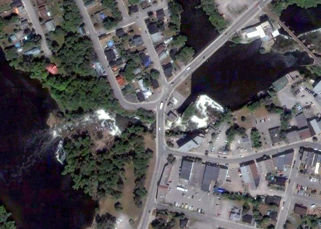
The heart of Almonte. Main Street at upper right.
So this is what the Cavanagh quarry looks like from above. Just outside Mississippi Mills at Regional Road 49 near Dwyer Hill.
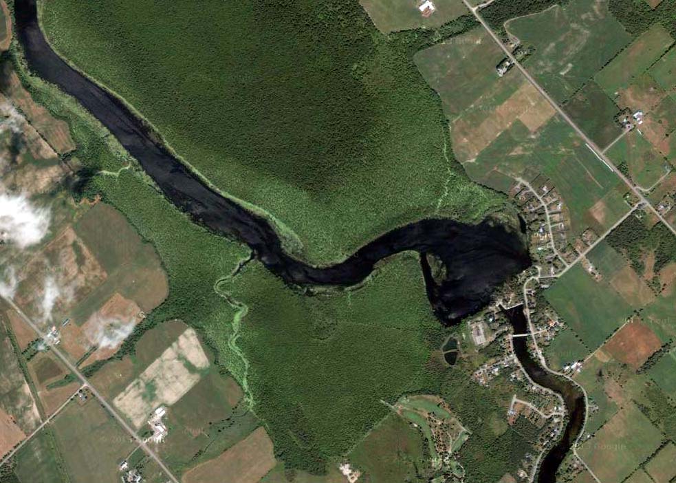
The wetlands flowing through Appleton.
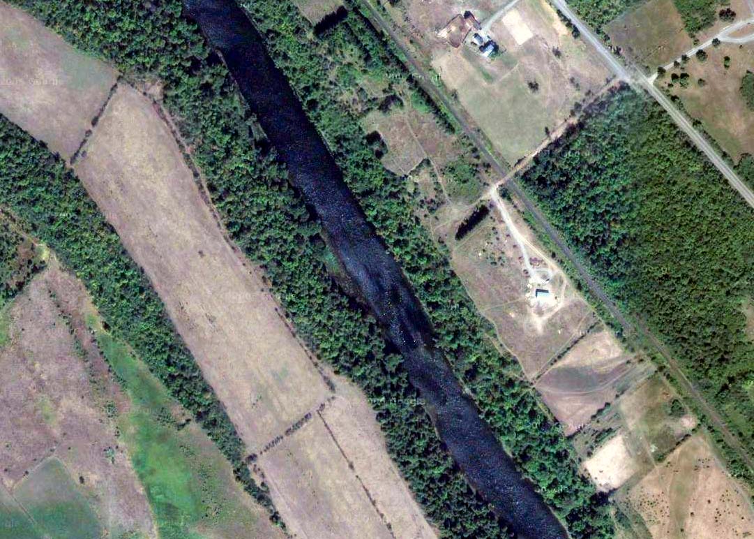
Current and former tributary creeks flowing into the Mississippi just north of Pakenham.
Cleared land following the MIssissippi along Martin Street.


